A Satellite Map of the Silk Road -The Silk road seen fron Space -
A map of the Silk Road by using satellite data was completed in cooperation with Tokai University Research & Information Center and Research Center for Silk Roadology. A mosaicked image of meteorological satellite NOAA covering the whole Silk Road was mainly used for the data base of the map.
The map clearly shows the ecological information such as cities, vegetation, water, topography, and so on. This map is expected to be a useful data for the future studies in Silk Roadology.
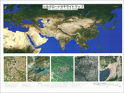
scale: approx. 1:15,000,000