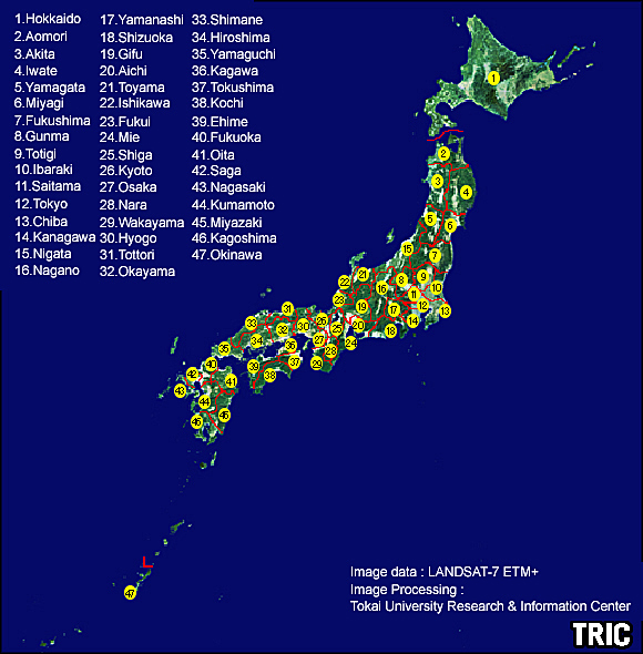
LANDSAT database of Japan islands
TRIC has developped a new data base of Japan Islands based on a mosaicked image of LANDSAT ETM+ data.
The data base is provided as a GIS which consists of DEM, prefecture limits, and maps, and it can be used for a various purposes.
Here, click numbers or prefecture names of below image to see each prefecture of the LANDSAT images.
|